WorldWide Tech & Science. Francisco De Jesús.
What's New in Google Earth?
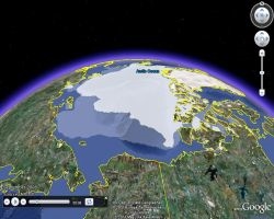
 Announcing Google Earth Builder Announcing Google Earth BuilderIn April, we introduced Google Earth Builder. Organizations and businesses can use Google's cloud technology to easily store, manage and share geospatial data by creating custom map layers viewable on Google Earth and Google Maps. Discover more information about Google Earth Builder and find out about upcoming informational events. |  Explore Redwood Trees in 3D Explore Redwood Trees in 3DOver the past few months, Save the Redwoods League and the Google Earth Outreach team have collaborated to create 3D models of the old-growth redwood forest in Jedediah Smith Redwoods State Park in northern California, so you can now take a virtual hike among the ancient trees and cruise over towering treetops. Download the KML tour or watch the narrated video tour. |
 Add your Local Knowledge to the Map Add your Local Knowledge to the MapUsing Google Map Maker, people around the world have built out and edited maps for over 180 countries and regions. Now, users in the United States can add their local knowledge to the map directly with Google Map Maker, and see those contributions in Google Maps to benefit millions of people. See real-time mapping by users from around the world. Get started mapping! |  Why Geography Matters Why Geography MattersGoogle is excited to sponsor the National Geographic Bee, which sparks student interest in geography. Over four million students prepare for the 2011 Bee and students who have progressed to the state bee level, will compete for one of the coveted 54 spots at the finals in Washington DC on May 25th. Watch our Geography video to hear from famous explorers. |
 Better View of the Mountains Better View of the MountainsWe've added a host of new features to the "Mountains" layer in Google Earth, to more easily appreciate their elegance and beauty. To see the layer, make sure "Mountains" is checked in the left layers panel of Google Earth. The green mountains icons are now visible from high up and you can view information about each mountain, including elevation profile, Panoramio photos, articles and KML tours. Learn more in this post. |  News from Google Earth Outreach News from Google Earth Outreach In this month's edition of News from Google Earth Outreach, we'll look at the launch of EarthKnowledge - a new initiative to explore geographically vast amounts of authoritative information from around the world. Then, we'll look further at Google Map Maker, which allows millions of local experts to add their knowledge to maps and how these more details maps can benefit non-profit organizations. Please read more. |
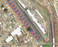
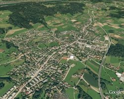
 New and Updated Imagery New and Updated ImageryThis month we added new and updated imagery, including high-resolution aerial updates for the USA, Japan, Norway and Australia. Many countries also received high-resolution satellite updates, including Angola, Brazil, Greece, Zambia, Costa Rica, Russia, Venezuela, Thailand, Uruguay, and more. Take a look at these changes and many more in our update post here, here, here, or view this file directly in Google Earth. Don't forget you can use the View > Historical Imagery option to see imagery choices through the time slider. |  Where in the World? Where in the World? Somewhere in Google Earth is this interesting feature. Can you find it? Be sure to click the image above for a larger view of this location. When you think you've found it, post your answer here. Here are a few clues:
|
Top Content
- Post-tornado mapping in Google Maps and Earth (Google Lat Long Blog)
- A new photo browsing experience in Google Earth (Google Lat Long Blog)
- The Home Greenover Project (Google Earth Blog)
- The Battle of Fort Sumter in Google Earth (Google Earth Blog)
- Following Freya Stark's 1968 excursion in Afghanistan (Google Earth Blog)
- The Visual Travel Guide (Google Earth Community)
- The 10 Most Expensive Hotel Rooms on Earth (Google Earth Blog)
- Hannibal Crossing the Alps: Six Possible Routes (Google Earth Community)
- Go inside the tomb of Esther and Mordechai (Google Earth Blog)
- Housing Projects in NYC - 106 projects, 5 boroughs (Google Earth Community)
Want more?
Useful places for more Google Earth information:


No comments:
Post a Comment